Maptech Marine Navigation Charts
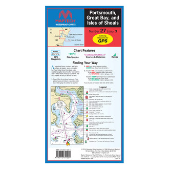
A nautical chart is one of the oldest, simplest, and most effective tools that mariners have at their disposal for safe navigation when approaching the coast. They have been in circulation since the 2nd century when a sea map showed just a rough coastline. Modern charts are much more detailed and provide all the relevant hydrographic data including depths, obstacles, anchorages, tide predictions, and whatever makes navigation secure. Besides, charts help sailors to choose the most convenient route and, finally, they are required on most commercial vessels when crossing U.S. waters.
Maptech is a leading brand offering both paper and electronic navigation charts that stand out for meticulous accuracy. Whether you are heading on a fishing safari on a lake or sailing along the seacoast, you will find a reliable Maptech guide or chart to ease navigation and make your adventure more enjoyable. Chart books, training charts, and waterways maps are printed on waterproof and tear-resistant plastic pages. In our online store, we offer a wide choice of Maptech marine navigation charts and other useful tools for every sailing, cruising, or fishing trip.